

Understanding the Route Before You Drive It
The Pacific Coast Highway - commonly called PCH or Highway 1 - runs along California's coastline for roughly 655 miles. Most drivers don't complete the entire route in one trip, and they shouldn't feel obligated to. Each stretch has its own character, pace, and logistical demands. Understanding what each segment genuinely offers helps you match the road to your travel goals rather than chasing a romanticized version of the whole drive.
If you're weighing whether to take PCH at all versus using faster inland routes, see our comparison of scenic byways and interstate highways to frame that decision before you commit to a route.
Northern California: Bodega Bay to San Francisco
This northern segment begins near Bodega Bay, approximately 65 miles north of San Francisco, and winds through fishing villages, dairy-farm bluffs, and tidal estuaries. The landscape is cool, often foggy, and noticeably wild - you're unlikely to find heavy beach traffic here. Point Reyes National Seashore sits just inland and is worth a detour for its dramatic headlands and lighthouse.
Drivers should be prepared for narrow, two-lane roads with limited cell service. Fog can reduce visibility significantly in summer mornings. This stretch rewards patience over speed.
Big Sur: The Defining Middle Section
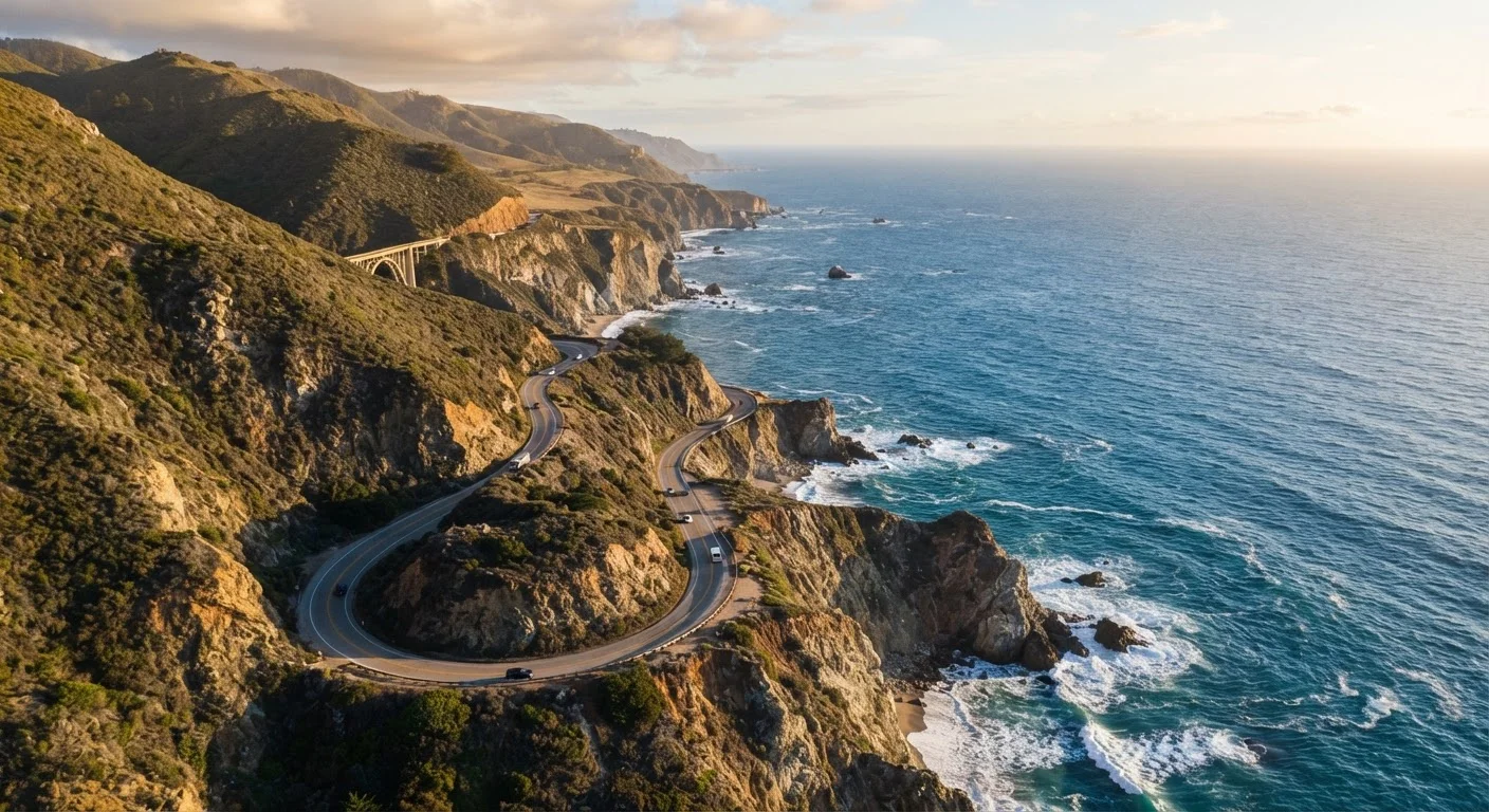
Big Sur - roughly the 90-mile corridor between Carmel and San Simeon - is what most people picture when they imagine PCH. Cliffs drop several hundred feet to the ocean, redwoods crowd the inland hillsides, and bridges like Bixby Creek span dramatic gorges. Stops at McWay Falls (Julia Pfeiffer Burns State Park) and Pfeiffer Beach are well-documented and heavily visited, particularly in summer.
Practical realities: gas stations are extremely sparse in Big Sur, and the single road is vulnerable to closures after storms or landslides - closures that can last weeks or months. Always check Caltrans road conditions before departure. Cell coverage is minimal throughout. Budget more time than the mileage suggests; the road demands slow, attentive driving.
Central Coast: San Simeon to Santa Barbara
South of Big Sur, the terrain opens into rolling hills and wider beaches. Morro Rock and the estuary around Morro Bay offer birdwatching and kayaking. Pismo Beach is a laid-back stop with accessible beach access and a walkable downtown. Further south, the Santa Ynez Mountains begin framing the road as it approaches Santa Barbara, which has a distinct Spanish Colonial architecture and a functioning urban core - a good overnight base if you're breaking the drive.
This segment is less dramatic than Big Sur but considerably easier to navigate, with more services, shorter distances between towns, and fewer road hazards.
Southern California: Malibu to the Orange County Coast
By the time PCH reaches the Los Angeles area, the experience shifts from wilderness driving to coastal urban corridor. The highway runs directly alongside the beach through Malibu, passing public beach access points interspersed with private homes. Traffic is a genuine factor here - weekend afternoons and summer months can slow this stretch to a crawl.
South of LA, communities like Laguna Beach and Dana Point offer a calmer version of Southern California beach culture: walkable downtowns, accessible coves, and strong arts communities. The scenery is less dramatic than points north, but the infrastructure and accessibility make these stretches more approachable for travelers with limited time or those bringing families.
Caltrans
The California Department of Transportation, responsible for maintaining state highways including Route 1. Their website provides real-time road condition and closure information essential for PCH planning.
Scenic Byway
A road designated for its exceptional scenic, cultural, or recreational qualities. California's PCH is one of the most recognized scenic byways in the United States.
Pull-out / Turnout
A widened area on the shoulder of a narrow road where drivers can safely stop to view scenery or let faster traffic pass. Heavily used on Big Sur's single-lane segments.
Headlands
A point of high land projecting into the sea. Coastal headlands along PCH - like those at Point Reyes - provide elevated panoramic views of the ocean and shoreline.
The content on this site is provided for informational purposes only and should not be considered a substitute for professional advice. While we strive to provide accurate and up-to-date information, we make no guarantees regarding its completeness or accuracy. Always consult a qualified professional for advice specific to your circumstances before making any decisions.