

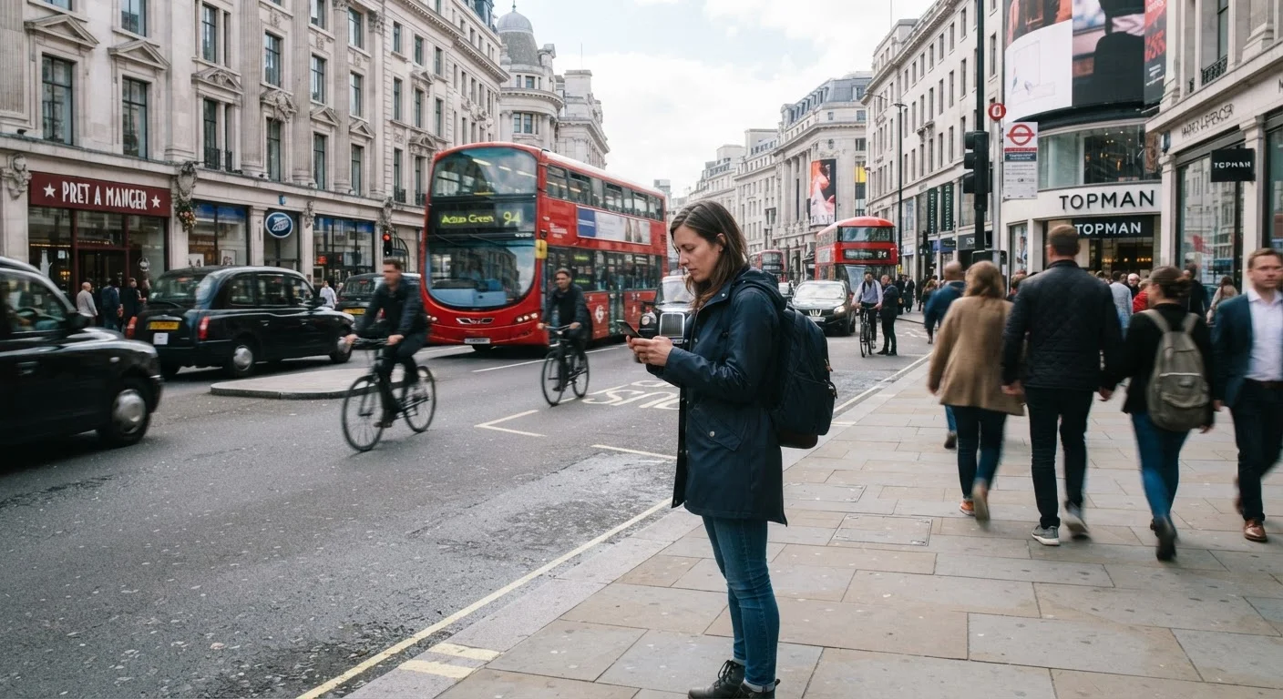
Why Getting Around Is the First Real Skill of City Travel
Arriving in a city you've never visited can be disorienting before you've even left the airport or train station. The gap between knowing a destination exists and knowing how to move through it is where a lot of travel stress originates. This is especially true for American travelers accustomed to driving, who suddenly find themselves relying on transit systems, unfamiliar street layouts, or apps they've never used before.
The good news is that urban navigation is a learnable skill, not an innate one. Whether you're heading to a major U.S. metro or an international capital, the same core strategies apply. The tips below walk you through the most reliable ways to get oriented and move confidently - before and after you arrive. If you're still in the trip-planning phase, our ground-up planning primer covers how to organize your research from the start.
Download Offline Maps Before You Leave Home
Mobile data can be unreliable or expensive in unfamiliar cities, especially abroad. Downloading offline maps through apps like Google Maps or Apple Maps while you're still on Wi-Fi gives you turn-by-turn navigation that doesn't depend on a live connection. Select the specific region or city you'll be visiting and download it in full.
Offline maps won't always show real-time transit updates, but they're invaluable for walking directions and general orientation. Pair them with a screenshot of your hotel address and neighborhood so you always have a reference even if your phone runs out of battery.
Offline maps give you reliable navigation even when your data connection fails entirely.
Learn the Local Transit System Before You Arrive
Most major cities have a subway, metro, bus network, or light rail - and most of them have official apps or trip-planner tools on their websites. Spend 20 minutes before your trip understanding the basic structure: which lines go where, how fares are paid (card, app, cash), and whether you need to tap in and out or just tap in.
This upfront research pays dividends. Cities like New York, Boston, and San Francisco have transit systems that are genuinely faster than ride-shares for many routes during peak hours. If you're visiting a city known for complex transit - like Mexico City, which surprises many American visitors with its extensive and affordable Metro network - a little pre-trip reading removes a lot of friction on arrival.
Understanding fare payment and line structure before you arrive prevents avoidable confusion at turnstiles.
Use Ride-Share Apps as a Backup, Not a Default
Ride-share services are available in most U.S. cities and a growing number of international destinations. They're genuinely useful when transit doesn't cover your route, when you're traveling with luggage, or when you arrive late at night. Download the app before you travel and confirm it operates in your destination city.
That said, defaulting to ride-shares for every trip gets expensive quickly and often isn't faster in congested urban cores. Treat them as a strategic option - particularly useful for airport transfers, late-night travel, or neighborhoods with poor transit coverage - rather than your primary mode of getting around.
Ride-shares work best as a targeted backup option, not a default replacement for transit.
Walk More Than You Think You Need To
Many travelers underestimate how walkable most city centers are, and how much orientation you gain simply by covering ground on foot. A 15-minute walk between two points teaches you more about a neighborhood's layout, character, and scale than a ride-share covering the same distance. It also helps you build a mental map that makes subsequent navigation easier.
Use your offline map to identify a general direction and let yourself move through blocks rather than waiting for exact turn-by-turn instructions. This is especially useful in compact historic districts, where streets don't always follow a grid and landmarks are often more useful guides than street names. Walking also gives you a more honest read on a place than moving through it in a vehicle.
Walking builds a mental map of the city that makes all subsequent navigation feel more intuitive.
Ask Hotel Staff or Locals for Practical Guidance
Front desk staff at hotels, guesthouses, and hostels typically know which transit options are reliable, which neighborhoods require extra awareness after dark, and which routes tourists consistently get wrong. A quick two-minute conversation at check-in can save you an hour of trial and error on the street.
Locals - at coffee shops, markets, or transit stops - are often just as helpful. Approach people who appear unhurried, keep your question specific, and thank them for their time. Asking a transit worker which bus line to take is almost always more reliable than trying to decipher a large system map under time pressure.
A quick conversation with hotel staff is often the fastest way to get reliable local transit guidance.
Build in Buffer Time and Accept That You'll Get Lost Once
No matter how well you prepare, most travelers in an unfamiliar city take at least one wrong turn, board the wrong bus, or exit a subway station facing the wrong direction. This is normal. The travelers who navigate cities well aren't the ones who never get lost - they're the ones who don't panic when they do.
Build 15-20 extra minutes into any navigation plan that's critical (airport departures, show times, tours). Keep your accommodation address saved in an easy-to-access format. And if you're genuinely turned around, step inside a café or shop to reorient rather than standing in the middle of a busy street trying to spin your phone map around. This kind of calm, methodical recovery is the real skill. If you're new to independent travel generally, our trip planning primer covers how to build this kind of resilience into your overall approach.
Building buffer time into critical journeys turns inevitable small wrong turns into minor inconveniences.
Moving Through the City With Confidence
No single method works for every city. Dense, transit-rich metros like Chicago or Washington, D.C. reward riders who learn the subway. Sprawling cities may require a mix of ride-shares and walking. The key is knowing your options before you need them - not when you're standing on a corner trying to figure out where the bus stop is.
Save Key Addresses Before You Arrive
Before leaving home, save your hotel, the nearest transit hub, and at least one central landmark as pins in your offline map. Also take a screenshot of these addresses with their neighborhood names. This ensures you can always orient yourself and communicate your destination clearly - even without a working data connection or a shared language.
If you're weighing whether to rent a car at your destination, consider reading how navigation apps compare to dedicated GPS devices - it's relevant even for city driving where traffic rerouting matters. And if your trip involves an international destination, evaluating the destination honestly before you go can help you anticipate transit quality and safety considerations in advance.
Travel conditions, transit routes, fares, and safety situations change frequently. Always verify current information through official local transit authorities and your government's travel advisory resources before your trip.
The content on this site is provided for informational purposes only and should not be considered a substitute for professional advice. While we strive to provide accurate and up-to-date information, we make no guarantees regarding its completeness or accuracy. Always consult a qualified professional for advice specific to your circumstances before making any decisions.